Polaron’s underlying technologies have a very large number of applications.
We’ve spent a lot of time exploring these – to find the right fit.
What we’ve discovered is that Polaron as a simulation engine sits best when operated within a system of systems – with data services supporting Polaron (and leveraging capabilities in other systems and services – from satellite derived data, to QGIS, Graph Databases and more).
For the games application – this has to be more self contained – but is still built using the same tools and services. Our goal is to offer an amazing experience and analytical capability at a lower cost.
We like to think we’re on a similar track to Rebellion – Studio, an independent studio – that creates amazing experiences without the hundreds of millions required by flagship AAA titles.
(This interview with their CEO is well worth a listen).
We can’t compete on everything – but on the areas we choose to compete in – we will outperform.
Mobile Simulation & data from the real-world
Edge based real-time simulation over 5G
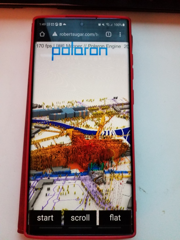
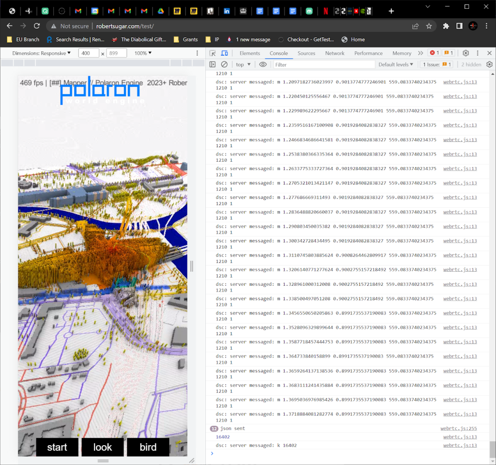
Working as part of the 5G-Victori Horizon Consortium – we’ve been able to develop a lightweight Js client based on WebRTC allowing real-time multi user streaming of the Simulation to multiple concurrent users.
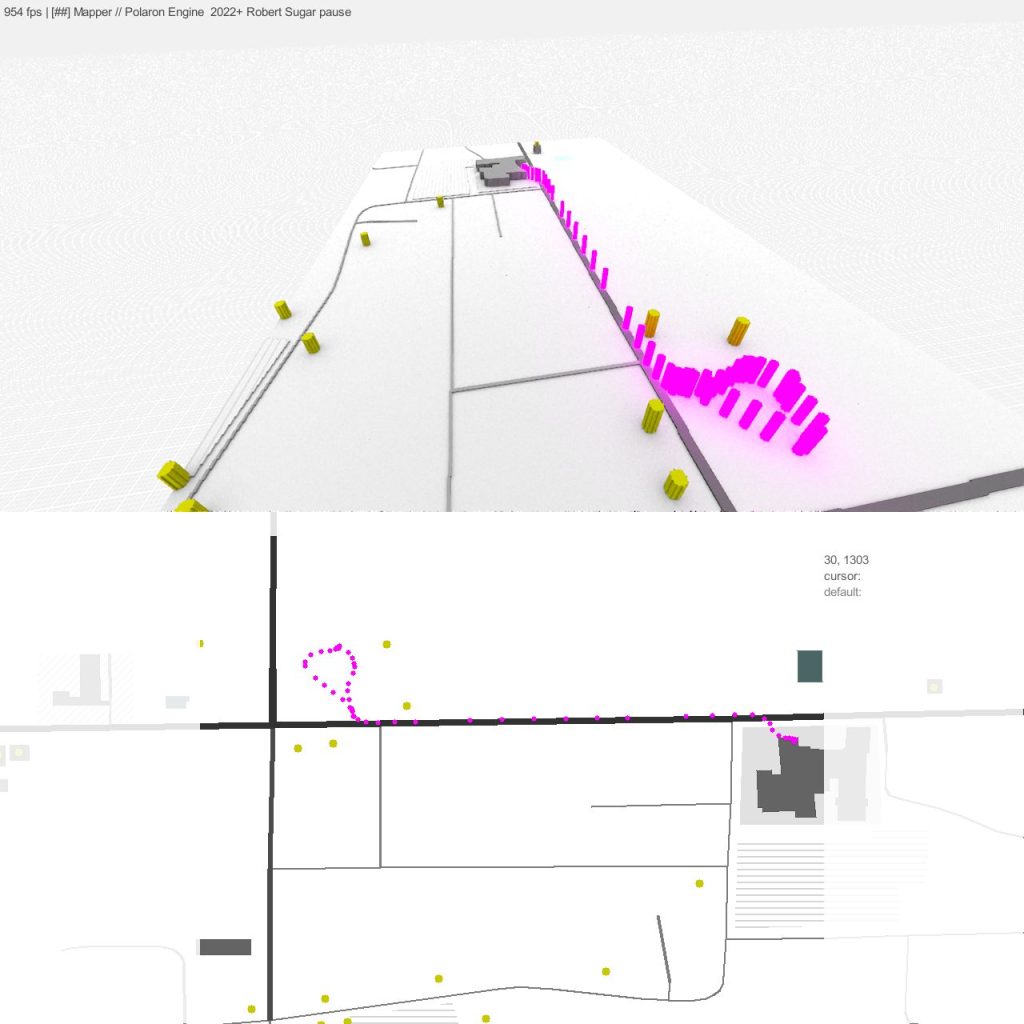
Wifi & Data Access mapping
Using RSSi and Wifi data we can map access locations and estimate connectivity based on the synthetic environment.
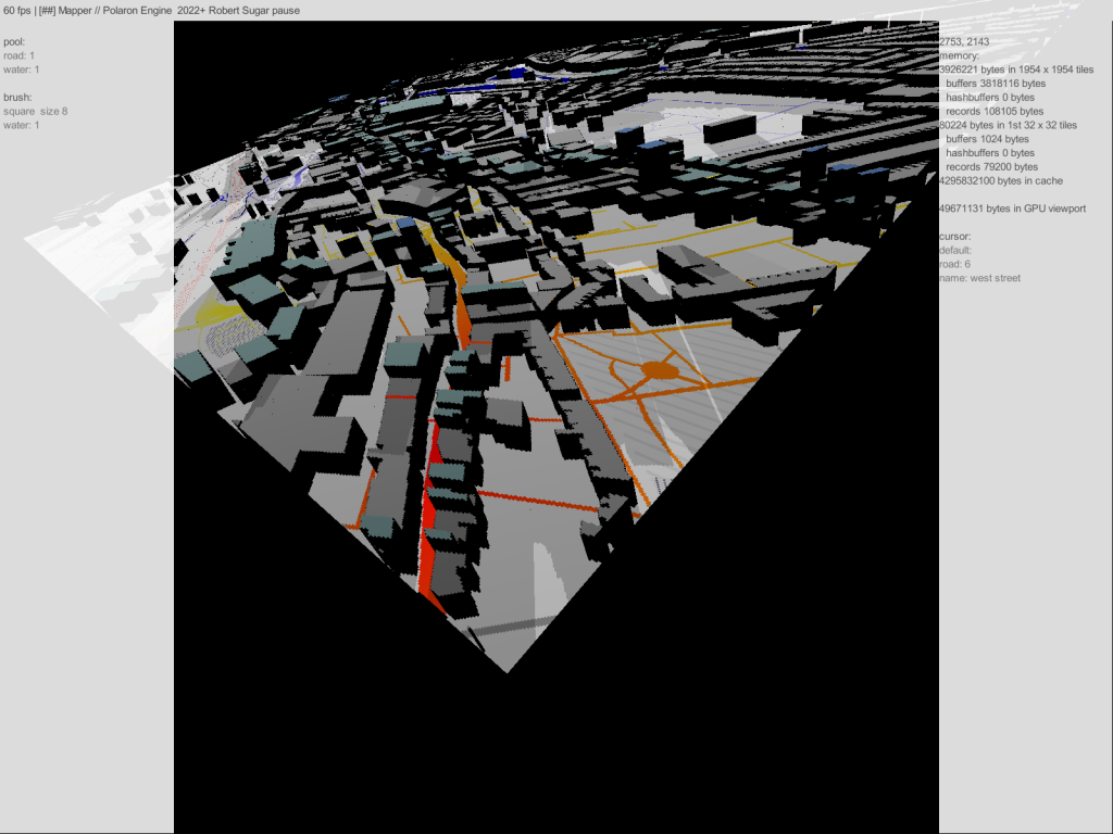
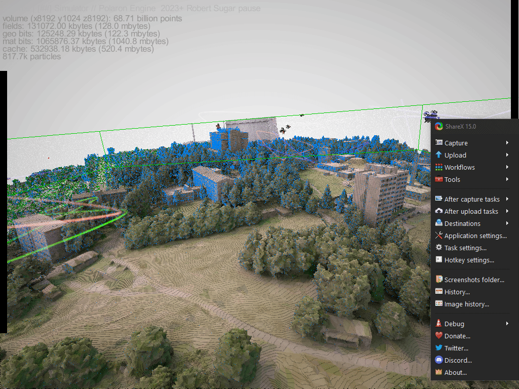
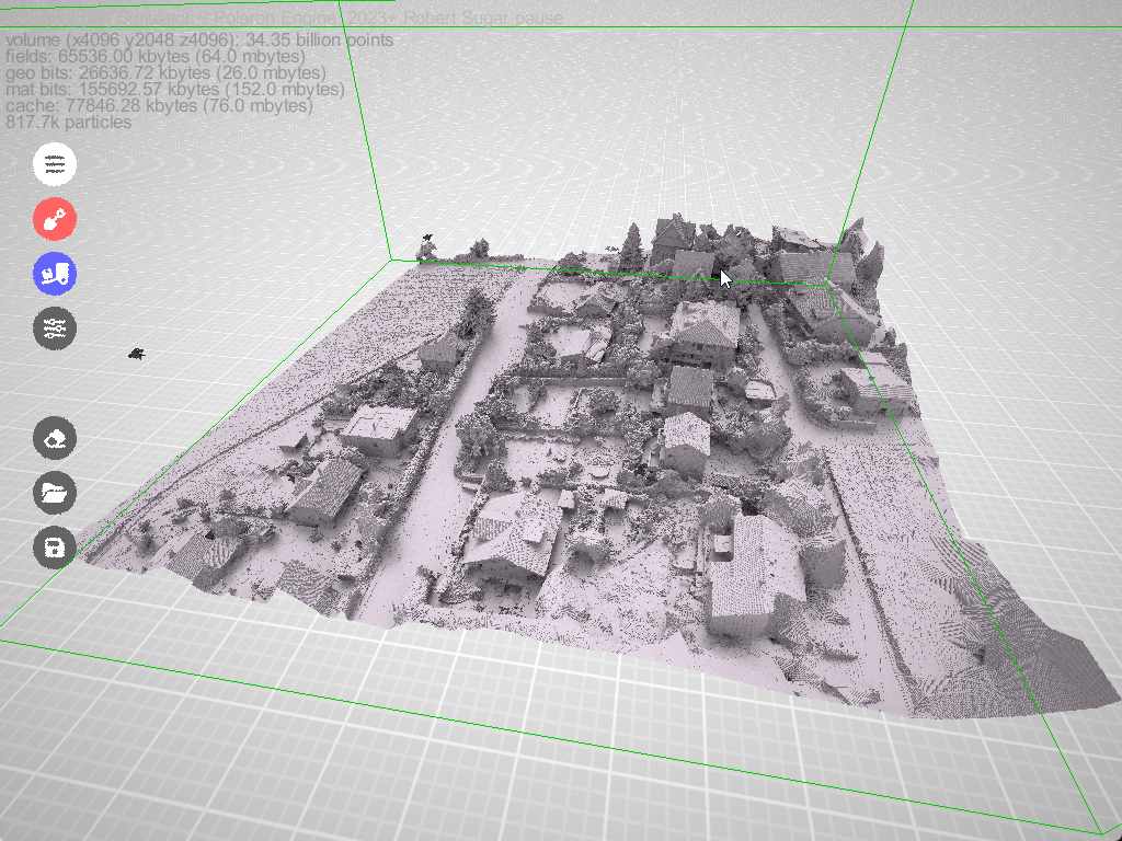
Data modelling for cities and large urban areas
Pack data into a 3D representation of the city – or run simulation on available data, augment it with insight from the engine itself our our range of modelling and mapping tools both inside and outside of Polaron.
Modelling & Simulation
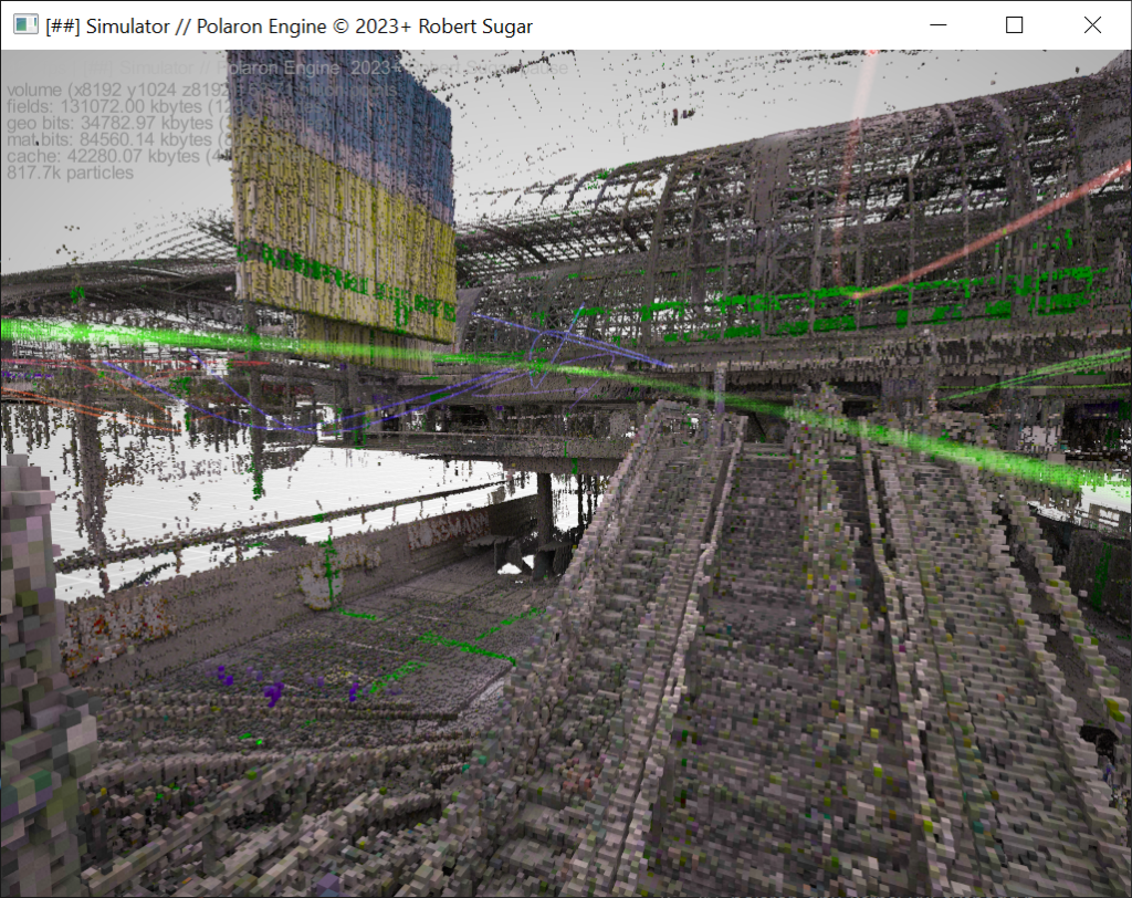
Scan to Model
Quickly ingest 200Gb models to present large editable and interactive spaces and run simulation inside of them.
Import and generate your own assets as voxelised assets
Using both our own tools and 3rd party tools we can quickly ingest data and produce voxelised models. Increasingly Ai and 3D tools can convert existing models to Voxel models in seconds.
Inputs and Outputs from multi user, multi device sessions.
Stream to a phone and interact with the simulation in real-time to understand the consequence of a change or action.
Public safety

Use real-time simulation to extract insight from live events
With the ability to ingest and update 20,000,000 points per second from Lidar and SLAM sources – we can produce a living model of events – and analyse it in real-time for insight.
Create digital shadows / twins of key locations
Whether it’s drones, or evacuation plans, we can quickly create and populate a map of the environment, profile and decide how to navigate or respond to a range of scenarios or threats.
From street view, UAV and EOS to simulation
We focus on the blend of semantic data to more accurately represent space – rather than surfaces. This means we can quickly create a usable model from fractional data and up to date real world data.
Games
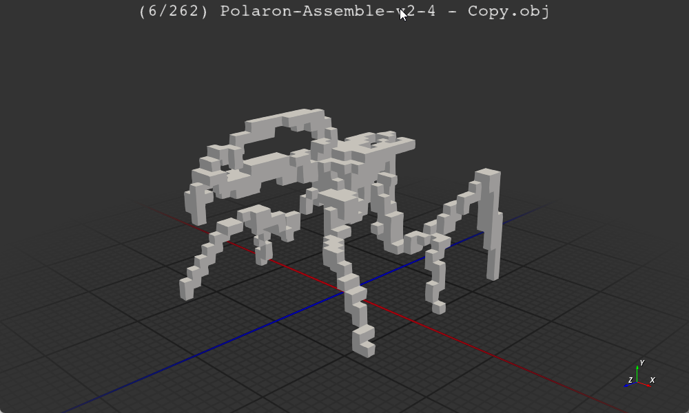
Procedural units
Based on inverse Kinematics, we can generate a range of templated parts, units and behaviours to create massive numbers of units and interactions in the environment.
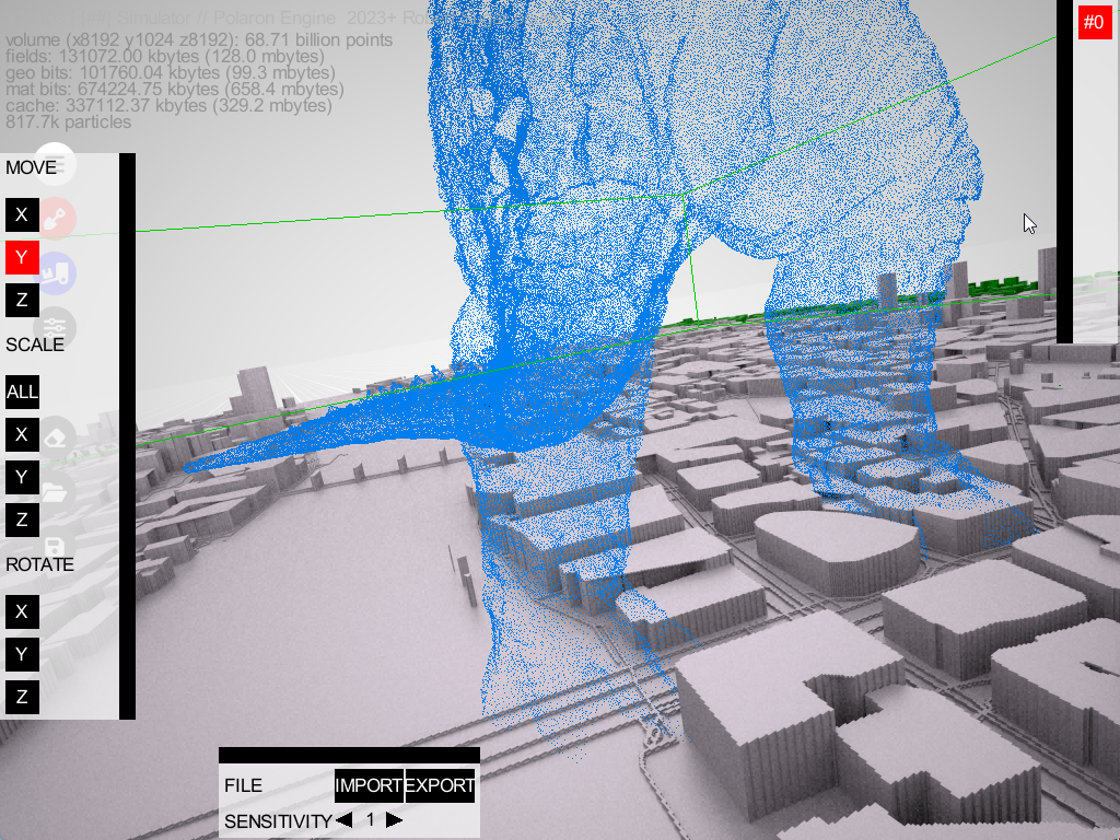
Epic Scale
Who hasn’t wanted to play Godzilla?
We offer un-paralleled scale in a Voxelised environment – which can be
Data modelling for cities and large urban areas
Pack data into a 3D representation of the city – or run simulation on
Complex Simulations for Historical, Defence & Security Applications

The Battle of Iwo Jima
Iwo Jima was an incredible battle, and we have been fortunate to assemble a team of GIS experts and Historians to help support bringing a day by day account of this battle to life. Leveraging our simulation and data engineering capabilities to turn sparse data into a probabilistic account of the battle based on real data.

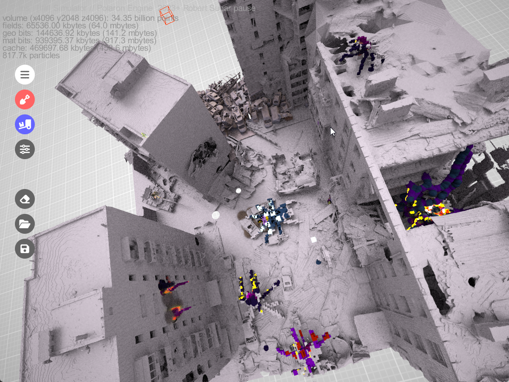
Urban Combat & Urban Conflict
The future of Warfare is Urban. We’re working to help create an ultra complex and destructible environment in which the challenges of civilians, friendlies and enemy action take place in a populated world of infrastructure and consequence.
Course of Action & Machine Learning
Urban Environments are extremely complex and filled with related systems. We wish to develop our own capabilities and partner with academia and other companies to bring a federated Modelling and Simulation capability to bear on the complexity of the contemporary Dense Urban Challenge.
City planning & Infrastructure modelling

Edge based real-time simulation over 5G
Lorem ipsum dolor sit amet, consectetuer adipiscing elit. Aenean commodo ligula eget dolor. Aenean massa. Cum sociis natoque penatibus et magnis diss parturient.
Wifi & Data Access mapping
Using RSSi and Wifi data we can map access locations and estimate connectivity based on the synthetic environment.
Data modelling for cities and large urban areas
Pack data into a 3D representation of the city – or run simulation on